


Agricultural News
Electronic Rural Atlas Available
Fri, 18 Feb 2011 16:56:29 CST
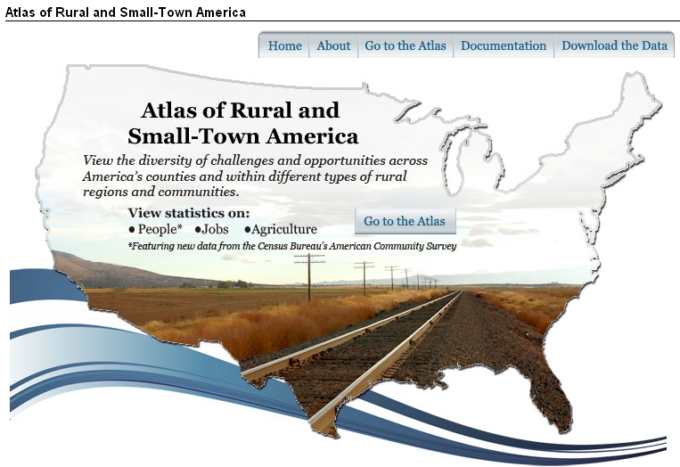 Agriculture Secretary Tom Vilsack has announced the debut of an online mapping tool that captures a broad range of demographic, economic, and agricultural data on rural areas across the United States. The Atlas of Rural and Small-town America, developed by USDA's Economic Research Service, provides county-level mapping of over 60 statistical indicators depicting conditions and trends across different types of non-metro regions.
The Atlas allows users to geographically compare selected states or regions using data on population, age structure, race and ethnicity, income, employment, agricultural well-being, and other measures. Maps can be filtered to show only counties of a certain type, such as those with high levels of manufacturing or with persistent poverty. For example, this option could be used to show high unemployment in manufacturing-dependent counties.
Secretary Vilsack said the new Atlas will complement USDA's efforts in promoting rural development and well-being by helping policy makers pinpoint the needs of particular regions, recognize their diversity, and build on their assets. The Atlas is part of a broad USDA initiative to make relevant data easily accessible to the public, including researchers, journalists, public officials, and other professionals.
The Atlas of Rural and Small-town America
WebReadyTM Powered by WireReady® NSI
Top Agricultural News
More Headlines...


