


Agricultural News
30 Day Weather Outlooks Shows Relief of Drought Conditions
Fri, 28 Oct 2011 13:35:09 CDT
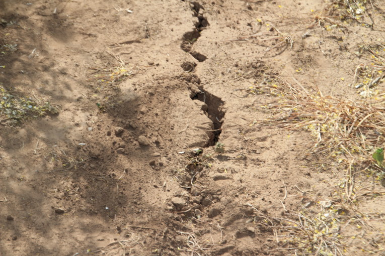 October saw drought impacts improve with substantially above normal rain amounts along the I-35 corridor from the Red River to the Kansas border. Along that path, Oklahoma Mesonet stations reported 4-7 inches of rain with widespread totals of 3-4 inches radiating outward. The heaviest rains fell from Jefferson through eastern Kingfisher and western Logan counties. Some parts of the state were still significantly below normal after missing a couple of the month's rain chances. The Oklahoma Panhandle had less than an inch for the month, in general, but did see its first light dusting of snow during the last week of October. With the "haves" and "have nots" figured in, the statewide average rainfall total through October 27 was 2.75 inches, or about a quarter inch below normal. For much of western Oklahoma, totals were 1-4 inches above normal and for much of eastern Oklahoma and the Panhandle, totals were near normal to 4 inches below normal. Combined with September, the fall season remained dry overall with an average rainfall total of 4.4 inches, more than 2 inches below normal. The driest area of the state for this period was the eastern half with deficits of 4-8 inches. The month's final U.S. Drought Monitor, issued on October 27, still had 55 percent of the state listed in the exceptional drought category, the worst designation possible. Virtually the entire state remained in severe-exceptional drought.
The 6-10 and 8-14 day outlooks from the National Weather Service's Climate Prediction Center (CPC) indicate increased chances for above normal temperatures and below normal precipitation for the first 10 days of November. The latest CPC outlooks for November and the November-January period also present increased chances of warmer and drier than normal weather. Using data from those outlooks, the latest U.S. Seasonal Drought Outlook from the CPC gives little hope for full-fledged improvement in the Southern Plains drought conditions through January 31. According to that forecast, Oklahoma remains firmly entrenched in the area where drought is expected to persist or intensify.
The pessimism in the precipitation outlooks is mainly due to the return of La Nina. The La Nina climate phenomenon, marked by cooler than normal waters off the west coast of South America, has been named as one of the primary culprits behind 2011's extreme weather, such as the record flooding in the Northern Plains and the disastrous drought in the Southern Plains. One of its primary impacts is a tendency for warmer and drier weather across the southern one-third of the United States. Oklahoma's current drought traces its beginnings back to October 2010, a time when last year's La Nina was just gathering strength. After fading through the spring and summer, La Nina is back once again and expected to continue strengthening into the winter months.
The outlooks from the CPC do not indicate whether extreme events can or cannot occur. The record extremes we saw during last year's La Nina winter, such as the new 24-hour snowfall record of 27 inches at Spavinaw or the 31 degrees below zero recorded at Nowata, are still possible even during a warmer, drier winter. Those types of events are more reliant upon individual storm systems and the day-to-day weather patterns.
Our thanks to Gary McManus, Associate State Climatologist, for providing this 30 Day Weather Outlook.
WebReadyTM Powered by WireReady® NSI
Top Agricultural News
More Headlines...


