

Mon, 17 Oct 2022 08:45:11 CDT
Statewide Discussion:
A spike in fire activity late week was quelled by a weather system that ushered in rain showers and some storms Saturday evening into Sunday providing wetting amounts at some locations primarily in the southern half of the Oklahoma. Much cooler temperatures will dominate the forecast over the next few days bringing the first frost to many parts of the state and a freeze to areas of northern and northeastern Oklahoma. Dry air will again overspread the state with dewpoint temperatures in the 20°’s resulting in afternoon relative humidity values in the 20% range across the state facilitating rapid drying of wildland fuels. Over the next two days, fire danger will be highest in the afternoon hours across the northern tier of counties where weekend rainfall did not occur. Initial attack activity is expected to be successful with limited large fire potential.
North-Central / Northwestern Oklahoma:
Most of the area did not receive rainfall over the weekend and where rains did develop, wetting amounts were very scattered. Following a cool start, temperature will warm into the low-60°’s with afternoon relative humidity values 19-26% and fine-dead fuel moisture values 5-6% for a brief period. North winds sustained 11-15 mph with some higher gusts will support moderate rates of spread in un-grazed grass stands at 73-119 ft/min with flame lengths around 15 ft. Brush fuels will move nearer to 50 ft/min with average flame lengths 8-10 ft. with frequent torching and short-range spotting where juniper is present.
Southeastern/Eastern Oklahoma:
Rains have calmed conditions a bit although the underlying dryness remains firmly in place. Initial attack activity over the next few days is expected to be lighter although increasing into late week. Large fire concerns have been reduced with the rainfall for the next few days. Today, drying conditions will quickly return as relative humidity values fall into the 20-25% range with afternoon temperatures 60°-67° under clear skies. This will yield fine-dead fuel moisture values this afternoon at 5-6% noting that little improvement to larger dead-fuel size classes was realized. North winds sustained 11-16 mph with some gusts nearing 20 mph will drive head fire rates of spread in grass dominated fuels at 70-110 ft/min with flame lengths around 13 ft. Timber litter fuels will exhibit less activity than in previous days with established wildfires exhibiting ROS 9-20 ft/min and FL 3-4 ft. Any fire that becomes established in plantation fuels will still likely exhibit problematic fire behavior.
Western Oklahoma:
Much of the area received wetting rainfall amounts noting that much of southwestern Oklahoma registered amounts less than 0.10”. New fire occurrence is not expected to prove overly challenging to suppress for the next few days although strong drying conditions will prompt increasing concern mid-week. Today, temperatures will top out in the low- to mid60°’s while relative humidity values 24-33% holding fine-dead fuel moisture values in the 6-7% range. North winds 10-12 mph will hold maximum rates of spread in rangeland fuels 55-90 ft/min with flame lengths 8-10 ft. providing very good opportunity for successful initial attack efforts.
Near-Term:
Frost and freeze conditions in the morning on Tuesday across northern and eastern Oklahoma and cooler temperatures overall will serve to compress the burning period into a few hours during the afternoon. With dewpoint temperature below 20°, afternoon conditions will be very dry again as relative humidity sinks into the upper-teens and 20% range. Rather light winds will hold rates of fire spread in the moderate range providing good opportunity for initial attack success.
Widespread frost/freeze is expected Wednesday morning serving as harbinger to the end of the growing season. Given current composite fuel moisture values, the transition to dormancy will be quick in herbaceous fuels. Late-week and into the weekend, south winds return prompting another uptick in fire danger overall. There is some signal of a pattern change Sunday into Monday bringing another opportunity for rainfall although current forecaster confidence is low.
NE Area – 3 Fires Burned 7.5 Acres (Cause: 1-Lightning, 2-Incendiary)
EC Area – 8 Fires Burned 230.4 Acres (Cause: 1-Equipment, 7-Incendiary)
SE Area – 15 Fires Burned 4,403.1 Acres (Cause: 15-Incendiary)
Large / Significant Fire Activity within the OFS Protection Area:
• Bethel Fire (McCurtain County) – 3,600 Acres (est.), 85% Contained
• Williams Fire (McCurtain County) – 463 Acres, 50% Contained
• Quarry Fire (Haskell County) – 206.5 Acres, 95%
• Shale Pit Fire (McCurtain County) – 120 Acres, 50% Contained
Fire Activity with OFS Response outside of the Protection Area: 2 Fires Burned 410 Acres (Cause:2-Incendiary)
OFS Prescribed Fire Activity: No New Activity
Fire Department Statistics: Moderate Initial Attack Activity
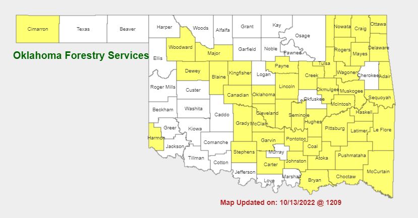
Burn Bans:
Refer to: https://ag.ok.gov/divisions/forestry-services/ for the most current burn ban information and links to specific burn ban proclamations.


