

Agricultural News
April Showers Bring May Flowers - Finally a Drought Report You Can Be Happy About
Thu, 06 Apr 2017 11:17:15 CDT
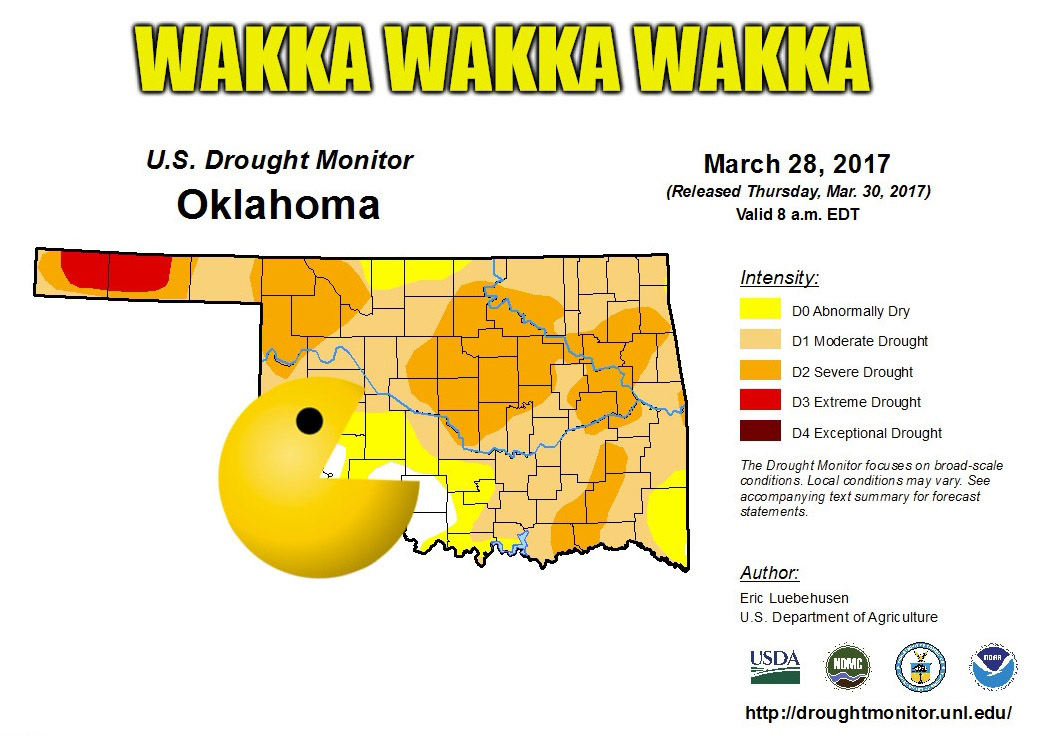 Oklahomans this year are finding out it is true what they say about the transition between the winter and spring months of March and April, "In like a lion, out like a lamb." In the short time between this week's drought report from the Oklahoma Mesonet and last week's, there has been dramatic improvement, thanks mostly to rains that occurred last Tuesday but missed that week's cut-off to be included in the report, so says State Climatologist Gary McManus.
"There is an obvious demarcation line between great rainfall totals, good rainfall totals, and so-so rainfall totals. Kind of along the I44 corridor, just skewed a tad northwest and southeast," McManus states in the latest edition of the Mesonet Ticker. "And this last 10 days of rainfall has transformed all of our rainfall maps, from 30- to 180-days."
Cool temperatures resulting from the rains that have blown through recently has helped "tremendously" says McManus, which has in effect limited the degree of evaporation, allowing for more retention of moisture. And from the looks of his current predictions for the next week or so, conditions should only improve with more rains expected to be on the way.
"Another chance for storms Sunday and then farther into next week with the approach of a storm system and cold front," writes McManus. "Rain chances will be stronger across Southeast Oklahoma and almost nil across the Northwest, but the Southeast is where it's needed most this time."
For more information, visit the Oklahoma Mesonet website.
WebReadyTM Powered by WireReady® NSI
Top Agricultural News
More Headlines...


