

Agricultural News
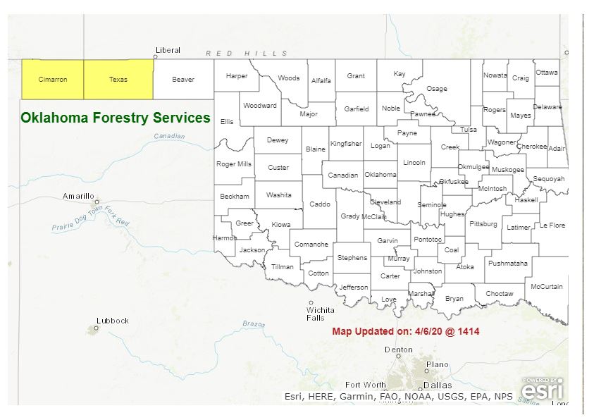
Latest Fire Situation Report Shows Cimarron and Texas still in Fire Danger
Tue, 07 Apr 2020 10:57:53 CDT
 The Oklahoma Forestry Services has updated its Fire Situation Report and it looks like warmer weather is in the forecast for the next few days before the cooler weather moves across the state.
A dryline will push into western Oklahoma with warm, dry air in tow elevating fire danger over a broader area of Oklahoma generally west of a line from Woods County to Jackson County. The highest indices will be present in far northwestern Oklahoma into the Oklahoma Panhandle where dormant wildland fuels continue to dominate the landscape. Temperatures are forecasted to dip below normal with relaxing fire danger toward the weekend
Drier air will push further into western Oklahoma than in previous days. However, wind speeds will be less of an ongoing impact fires in addition to potential sky cover hampering fire danger. The highest fire danger indices will be centered on the dormant fuels in the Oklahoma Panhandle and northwestern Oklahoma. •
Oklahoma Panhandle / Northwestern Oklahoma Temperatures will warm into the low- to mid-80's with afternoon relative humidity values as low as 7% in western Cimarron County to 12% in Ellis County and nearer to 20% in Woods County with the influence of a dryline pushing into the state. Fine dead fuel moisture values 3-5% will facilitate readily receptive grass fuels. West winds 5-12 becoming light and variable in some areas will limit spread potential offering good opportunity for successful initial attack efforts. •
Western Oklahoma Warm, dry conditions will overspread the area this afternoon supporting receptive dormant fuels and moderate fire danger indices. Morning fog will stall concern until later this afternoon, and green-up progression will offer numerous barriers to fire spread. Light winds will limit spread potential although moderate rates of fire spread should be anticipated where fuels will support fire activity. Wednesday: Warm and dry conditions will continue across the west where fuels are more receptive than points east where green-up has progressed. Shifting winds are expected although wind speeds are not forecast to be of much concern.
In general, moderated fire danger indices and lack of full alignment in the fire environment will provide very good opportunity for successful initial attack efforts. Much cooler temperatures, cloudy skies and improved relative humidity values will stave off concerning fire danger indices approaching the weekend with reduced concern through the weekend. The Oklahoma Wildfire Situation Report will be updated on Monday, April 13th unless fire activity or fire danger merits otherwise.
WebReadyTM Powered by WireReady® NSI
Top Agricultural News
More Headlines...


