

Agricultural News
Latest Fire Situation Report Shows Fire Danger Concerns Across Much of Oklahoma
Fri, 12 Jun 2020 09:24:43 CDT
 Taking a look at the latest Fire Situation Report for June 12 Shows a few fires have sprung up due to the high winds and heat.
· 8 Fires Burned 1,466.25 Acres
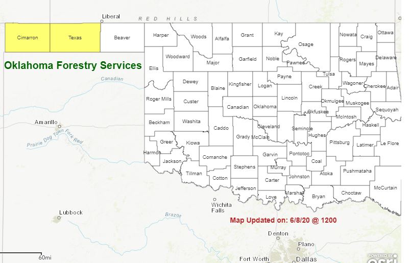
· Ames Fire (Major County) 640 Acres, 50% Contained
· 180/Kiowa Rd Fire (Woods County) 450 Acres, 75% Contained
· Additional Wildfire Activity Noted through informal reporting and media outlets.
Statewide Discussion: Accelerated drying spurred by warm and dry conditions and persistent winds in the absence of areal
rains has served to ratchet up fire danger concerns across much of Oklahoma. Some showers and storms this morning will be
followed by hot and dry conditions into next week. At present the highest fire danger will be over the weekend focused in the
Oklahoma Panhandle and western Oklahoma. A Fire Weather Watch is currently in effect for the Oklahoma Panhandle
counties on Saturday.
Today:
Showers and storms will continue to move across northwest Oklahoma gradually dissipating while isolated showers
also develop in northern and central Oklahoma. In the wake of this disturbance, hot and dry conditions are forecasted to
resume into the afternoon with fire danger developing across the drought impacted counties in the Oklahoma Panhandle,
northwest and western portions of the state.
· Oklahoma Panhandle: Numerous lightning caused fires occurred yesterday afternoon and evening. While some were
rained out, others required suppression action. The likelihood of lightning fire hold-overs from yesterday should be
considered today. Lightning activity level of 2 & 3 this morning will present potential for additional lightning caused
fires today outside of a wetting rain shaft. Temperatures 95?-97? coupled with afternoon relative humidity values sinking
into the 14-16% range will facilitate very receptive fuels in the drought-stricken area. South winds sustained 10-15
mph with some gusts exceeding 20 mph will deliver head fire rates of spread 65-90 ft./min. with head fire flame lengths
7-9 ft. Initial attack should prove effective although those areas where heavy fuels are present will exhibit resistance
to control.
· Western Oklahoma: Rainfall totals will be variable this morning as showers pass through northwest Oklahoma. While
some isolated locations will receive wetting rains, much of the area will receive only trace to 0,1". Lightning generation
will likely result in new fire activity today. Elevated fire weather conditions this afternoon will be present as temperatures
warm into the mid-to upper-90?'s and relative humidity values dip into the 15-22% range. Sky cover this morning is
expected to clear out facilitating very receptive fine-fuels this afternoon. Southerly winds generally 12-17 mph with
some higher gusts this afternoon will yield rates of fire spread in grass dominated fuels 75-115 ft./min. and flame
lengths averaging 8-12 ft. Eastern Redcedar pockets will exhibit problematic fire behavior and areas where heavy
fuels are present will exhibit resistance to control.
· Central/Eastern Oklahoma: Scattered showers this morning in some areas and lingering sky cover will serve to stall
development of fire danger until later this afternoon, Temperatures will warm into the low-90?'s and relative humidity
values will register 27-35%. Live-fuel moisture values remain in good shape and will limit fire behavior on any new
fires providing good opportunity for successful initial attack.
Weekend: A Fire Weather Watch is in effect for the Panhandle counties for Saturday. Elevated to near-critical fire weather is
expected through the weekend and into next week for most of western Oklahoma. Fire behavior potential will ratchet up
gradually with hot and dry conditions persisting and afternoon relative humidity values continuing to fall below 20%. Winds will
increase some with stronger gusts, especially during peak heating in the afternoon. Fire behavior in grass dominated fuels will
generally be 80-130 ft./min with flame lengths 8-12 ft. Problematic fire behavior should be expected where heavier fuels are
present requiring extensive mop-up efforts.
Resources:
· OFS has 2 Task Forces assigned to the Yolo Ranch Fire. These resources will be made available for initial attack
through the weekend and into next week.
· OHP/OFS aerial reconnaissance
· OEM in support
Note: OFS/ODAFF has personnel mobilized in support of ESF-8 Public Health
WebReadyTM Powered by WireReady® NSI
Top Agricultural News
More Headlines...


