

Agricultural News
Latest U.S. Drought Monitor Map Shows Exceptional Drought Has Now Crept Into Oklahoma
Thu, 02 Jul 2020 14:30:45 CDT
 Exceptional drought (D4) has now crept into the Oklahoma Panhandle. The latest U.S. Drought Monitor map shows a small area of D4, the worse category, in the northern edge of Cimarron County. The D4 designation is part of an expanded area that includes southeastern Colorado into southwestern Kansas.
Drought conditions now cover almost 65 percent of Oklahoma, more than an 8 percent increase from last week.
The DO and D1 drought designation now extend into northeastern Oklahoma and northwestern Arkansas, as little to no rain has fallen in these areas lately and they have received only 10-25 percent of normal precipitation in the last 30 days. In fact, 7-inch rainfall deficits in the last 60 days have been observed near Tulsa and Creek Counties which have now moved into the D2 (severe drought) category.
To view the latest Oklahoma drought map, click here.
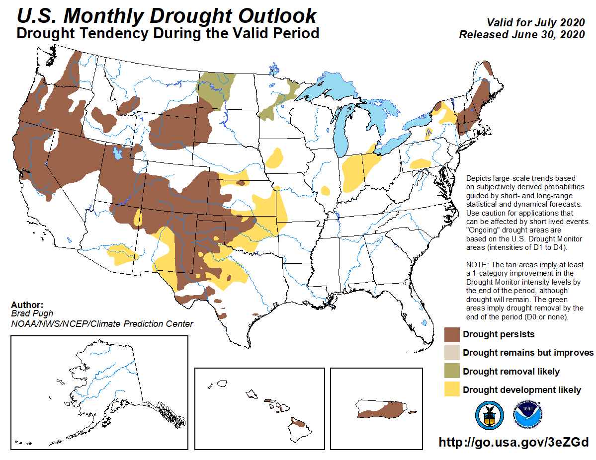
Unfortunately, the long range outlook does not hold much promise for extinguishing the drought any time soon.
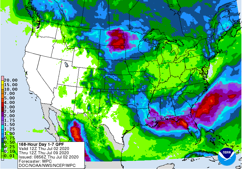
To view the 7-day NOAA precipitation outlook, click here.
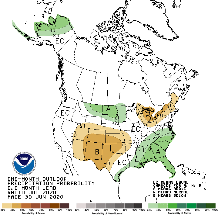
To view the July precipitation outlook, click here.
To view the July Drought Outlook map, click here.
To view the U.S. Drought Monitor map, click here.
The U.S. Drought Monitor Map is developed through a partnership between the National Drought Mitigation Center at the University of Nebraska-Lincoln, the United States Department of Agriculture, and the National Oceanic and Atmospheric Administration.
WebReadyTM Powered by WireReady® NSI
Top Agricultural News
More Headlines...


