

Agricultural News
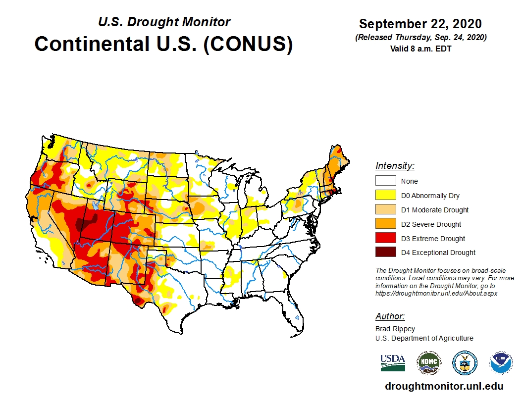
Latest U.S. Drought Map Shows Drought Expansion In The West and Rocky Mountains As The Fall Outlook Does Not Offer Relief
Fri, 25 Sep 2020 15:03:50 CDT
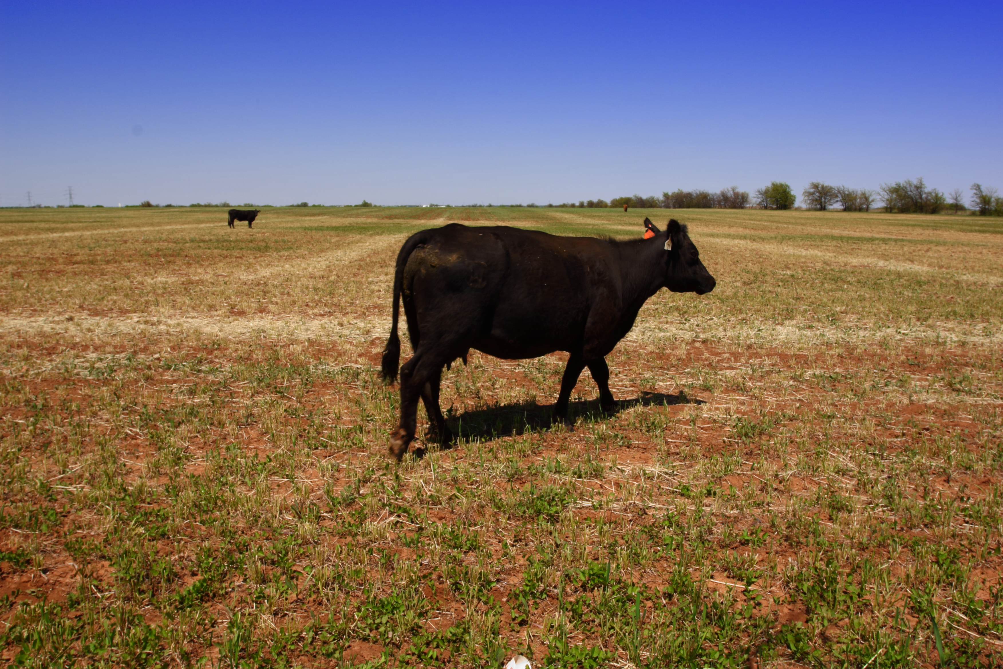 Rangeland and pastures are significantly stressed across wide swaths of the southern and western High Plains including much of eastern New Mexico and Colorado, western Texas, Oklahoma and Kansas.
As a result of continued dryness in those areas, the latest U.S. Drought Monitor map is showing modest drought expansion.
The number one concern now for many of these areas is the lack of soil moisture for newly planted winter wheat.
To view the current U.S. drought monitor map, click here.
For Oklahoma, another week of dry weather for the western half of the state has added to the concerns going into the fall and winter months.
The abnormally dry (D0) and severe drought (D2) categories have slightly increased in Oklahoma while other categories remain unchanged from last week.
To view the current Oklahoma drought monitor map, click here.
Unfortunately, there is not much relief in either the short or long-term outlooks.
To view the 6-10-day temperature outlook, click here.
To view the 6-10-day precipitation outlook click here.
Large areas of the west and Rocky Mountain regions, already suffering from extreme drought and wildfires will not get much relief from the extended forecast.
This adds to the concerns of a moderate to strong La Nina weather pattern this winter, which normally leads to a dry winter for much of this region.
To view the latest seasonal drought outlook for Sept through the end of the year, click here.
The U.S. Drought Monitor Map is developed through a partnership between the National Drought Mitigation Center at the University of Nebraska-Lincoln, the United States Department of Agriculture, and the National Oceanic and Atmospheric Administration.
WebReadyTM Powered by WireReady® NSI
Top Agricultural News
More Headlines...

