

Agricultural News
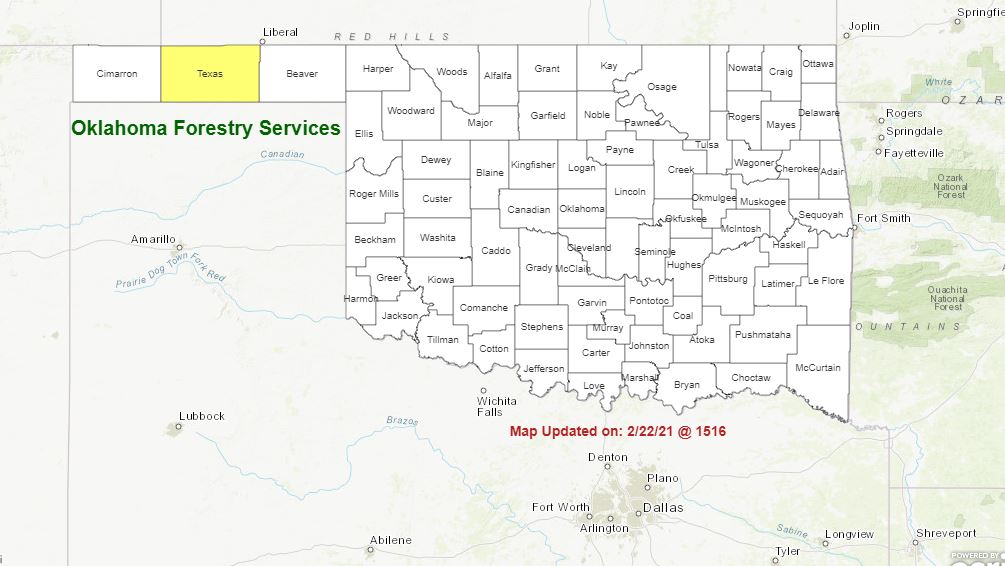
Latest Fire Situation Report for March 2, Still Shows Burn Ban in Texas County
Tue, 02 Mar 2021 08:46:06 CST
 Oklahoma Department of Agriculture, Food and Forestry
PROTECTION AREA STATISTICS 0800 March 1, 2021 thru 0800 March 2, 2021
NE Area 3 Fires Burned 88 Acres (Cause: 1-Escaped Debris, 2-Incendiary)
EC Area No New Activity
SE Area 1 Fire Burned 3 Acres (Cause: 1-Escaped Debris)
Large / Significant Fire Activity within the Protection Area: No New Activity
Fire Activity with OFS Response outside of the Protection Area: No New Activity
OFS Prescribed Fire Activity: No New Activity
FIRE DEPARTMENT STATISTICS from www.firereporting.ok.gov reported March 1, 2021
· Light Initial Attack Activity Observed
· No New Activity Reported
Statewide Discussion: A few days of increased fire danger developing in the afternoon hours is expected prior to Gulf moisture
moving into Oklahoma bringing increased relative humidity values and rain chances Thursday evening into Friday. Cool/cold
nighttime temperatures and moderate to good overnight moisture recovery will serve to stall development of fire danger until the
afternoon hours each day although above normal afternoon temperatures, dry air over dormant fuels, and southwesterly winds
will spur brief periods of moderate to very-high fire danger indices. Forecasters continue to refine potential rainfall location, timing
and amounts Thursday into Friday.
Today: Elevated fire weather over dry and dormant rangeland fuels will develop this afternoon across the Oklahoma Panhandle
into northwestern Oklahoma. Additionally, higher fire danger indices than have been observed in previous days will be observed
across the state today with above normal temperatures, dry conditions and drying fuels. Winds will be strongest north and west
of I-44 with lighter winds southeast.
· Northwest Oklahoma / Oklahoma Panhandle: Temperature will warm to 63?-68? this afternoon following a chilly start under
clear skies with afternoon relative humidity values 8% (western Cimarron County) to 20% (NW Oklahoma) prompting rapid
drying of fine-dead fuels with 3-5% observations during peak burning conditions. Southwest winds this afternoon
sustained 12-18 mph with some gusts in excess of 20 mph will support head fire rates of spread in rangeland fuels 168-
240 ft./min. (?2.5 mph) with head fire flame lengths 12-15 ft. Areas where grazing and haying have been prevalent will
exhibit less potential. Fire weather elements will diminish quickly after sunset. Overall, initial attack efforts are expected
to be successful.
· West of I-44: Good overnight moisture recovery and a cool start will serve to delay development of fire danger to midday.
Afternoon temperatures around 60?, clear skies and relative humidity values 17-28% will yield fine-dead fuel moisture
values 5-6%. Southwest winds 9-13 mph with limited gusts will support head fire rates of spread in grass dominated fuels
119-181 ft./min. with head fire flame lengths 10-18 ft.
· East of I-44: Composite fuel moisture observations remain high limiting resistance to control although rapid drying of fine
fuels will result in increased receptiveness in grass and unsheltered timber litter. Temperatures 58?-63?, clear skies and
afternoon relative humidity values 23-34% will result in fine-dead fuel moisture observations at 6% this afternoon. Light
southwesterly winds will limit spread potential with rates of spread in grass dominated fuels 45-93 ft./min. Timber litter
fuels will generally exhibit ROS <10 ft./min. except on the steeper south facing slopes where ROS 15-20 ft./min should be
expected.
Near Term: Temperatures will push toward the 70? mark in some locations on Wednesday with continued dry conditions
afternoon relative humidity observations 11% in the western Panhandle and generally <30% statewide again supporting very
receptive fine-dead fuels. Rates of spread, however, are not anticipated to present much challenge with wind speeds 5-15 mph
and limited gust threat. For Thursday, current forecasts point to increasing gulf moisture, increasing sky cover and rain chances.
Mindfulness in watching the refinement of the forecast is merited as a change in timing and location may result in persistent fire
danger, especially in the Panhandle counties
Burn Bans: Refer to http://www.forestry.ok.gov/burn-ban-info for the most current burn ban.
WebReadyTM Powered by WireReady® NSI
Top Agricultural News
More Headlines...


