

Agricultural News
Latest Fire Situation Report for April 6th shows No Burn Bans, but Red Flag Fire Danger Warnings Across the State
Wed, 07 Apr 2021 10:18:19 CDT
 Oklahoma Department of Agriculture, Food and Forestry
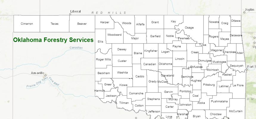
PROTECTION AREA STATISTICS for April 5, 2021
NE Area No New Activity
EC Area 2 Fires Burned 58 Acres (Cause: 2-Incendiary)
SE Area 2 Fires Burned 142 Acres (Cause: 2-Incendiary)
Large / Significant Fire Activity within the OFS Protection Area:
• Brazil Creek Headwaters Fire (Latimer County) 129 Acres, 85% Contained
• Spaniard Creek Fire (Cherokee County) 930 Acres, 65% Contained
• Bear Suck Fire (Latimer County) 115 Acres, 90% Contained
• Manes Hollow Fire (Cherokee County) 670 Acres, 95% Contained
Fire Activity with OFS Response outside of the Protection Area:
• Euchee Fire (Creek County) 1,000 Acres (est.), 50% Contained
• Honey Creek Fire (Okmulgee County) 500 Acres, 50% Contained
• Ferguson Road Fire (Okmulgee County) 732 Acres, 85% Contained
• Cowboy Day Fire (Pottawatomie County) 614 Acres, 100% Contained
• 209/281st St Fire (Creek County) 799 Acres, 100% Contained
OFS Prescribed Fire Activity: 1 Rx Fire treating 1,300 Acres
FIRE DEPARTMENT STATISTICS from www.firereporting.ok.gov reported April 5, 2021
• Moderate Initial Attack Activity Observed Wildfire Reporting Ongoing
Statewide Discussion: A Red Flag Warning is in effect for Cimarron and Texas Counties as well near-critical fire weather over
dry fuels in far-northwest Oklahoma. Elevated fire weather is expected along the 100th Meridian in the western tier of counties. A
dry line preceding a cold front today will result in a spike in fire danger in the Oklahoma Panhandle and far western Oklahoma.
Dry conditions will persist for most of Oklahoma today with a few scattered showers as winds intensify. A cold front will enter the
Oklahoma Panhandle tonight working across Oklahoma overnight and tomorrow with storm chances north and east.
Today: A dry line today will result in a sharp gradient between desert dryness and gulf moisture. Current forecast data places
the dry line along the 100th Meridian at the OK/TX border this afternoon with critical fire weather of over receptive fuels west of the
line and gulf moisture moderating fuel receptiveness east of the line. Outside of a few passing showers this morning, rain/storm
chances develop this evening across northern and eastern Oklahoma. Winds will be notable today driving potential for extreme
rates of fire spread in the Oklahoma Panhandle and challenge perimeter control lines from recent wildfire activity elsewhere.
• Warned Area A Red Flag Warning is in effect today for Cimarron and
Texas Counties from 1:00 PM through 9:00 PM. Good overnight
moisture recovery will quickly erode as a dry line pushes east across the
area. During the peak of the burning period, temperatures 81?-87?
coupled with clear skies and relative humidity values solidly in the singledigit range at 3-4% will yield extremely receptive fine-dead fuels at 2%.
West winds sustained 20-27 mph with gusts around 40 mph will drive
rates of fire spread in rangeland fuels 324-484 ft./min. (3.6-5.5 mph) with
head fire flame lengths 17-22 ft. In those rangeland fuels firefighters
should anticipate short range spotting where brush fuels are present.
Short-grass potential rates of spread will likely tap the wind limit at 231
ft./min. with flame lengths 9-12 ft. The cold front and associated wind
shift is expected tonight around 2200 hrs. with northwest winds sustained 20-25 mph and continued gusts around 40 mph. with
respectable humidity recovery offering opportunity to contain going fires.
• Far Northwestern Oklahoma / Western Tier - The dry line is expected to hold up along the 100th Meridian at the OK/TX border
with a sharp gradient between very dry air and more moist conditions. Nonetheless, above normal temperatures and very strong
winds will support potential for very rapid rates of fire spread in rangeland fuels where dormancy prevails. Temperatures 84?-
90? and relative humidity values 6-15% under mostly clear skies translates to fine-dead fuel moisture values at 3% across most
of the area along the dry line. South to southwest winds sustained 23-28 mph with some gusts in excess of 40 mph will support
potential for head fire rates of spread 265-338 ft./min. (+/- 3.4 mph) with flame lengths 16-21 ft. in un-grazed rangeland fuels.
Some areas have transitional fuels, and where grazing/haying has revealed some early season greening, rates of spread will be
less than indicated above. Cold front timing will impact northwest Oklahoma late tonight with locations further south along the
OK/TX border not seeing the shift to northwest winds until the early morning hours.
• East of Dryline The bulk of the state will register above normal temperatures coupled with very strong southerly winds this
afternoon in advance of a cold front arriving in the early morning hours and tomorrow. Some scattered showers this morning
are ongoing, and gulf moisture holding afternoon relative humidity values to 35% west to 58% east will limit fine-dead fuel
moisture values from sinking into critical levels. Temperature 77?-88?, clouds holding in and relative humidity values 35-58% will
yield fine-dead fuel moisture values 7% west to 10% east this afternoon. Winds, however, will challenge perimeter control lines
on continued wildfire activity especially in timber dominated fuels where large fuel size classes are present. Storm chances
enter the forecast tonight ahead of the cold front for northern and eastern Oklahoma.
Wednesday: Elevated fire weather will again be present in western Oklahoma with cooler temperatures and somewhat improved
relative humidity values. Northwest winds will continue to be stout at 20-25 mph with higher gusts although respectable opportunity
to contain fires from today will be present. Rain/Strom chances continue east with the highest probability along the Arkansas
border.
Near-Term Outlook: Much of Oklahoma ill remain dry with a series of cold fronts in the forecast late week and over the weekend.
Overall, fire danger is expected to moderate somewhat late week with a return to more normal temperatures and lower wind
speeds overall.
Burn Bans: None
Remember- ONLY YOU can prevent wildfires! Enjoy Oklahoma's wildland
Burn Bans: Refer to http://www.forestry.ok.gov/burn-ban-info for the most current burn ban.
WebReadyTM Powered by WireReady® NSI
Top Agricultural News
More Headlines...


