

Agricultural News
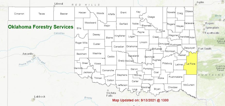
Latest Fire Situation Report Shows Burn Ban for LeFlore County, and Predominantly Dry Conditions
Mon, 20 Sep 2021 09:52:18 CDT
 Here's the latest Fire Situation Reprot for September 20, 2021
PROTECTION AREA STATISTICS for September 19,, 2021
NE Area 4 Fires Burned 247.1 Acres (Cause: 1-Esc. Control Burn, 1-Equipment, 2-Incendiary)
EC Area 4 Fires Burned 109 Acres (Cause: 2- Esc. Debris, 1-Electrical, 1-Incendiary)
SE Area 5 Fire Burned 36.6 Acres (Cause: 4-Incendiary)
Large / Significant Fire Activity within the OFS Protection Area:
• Grass Hollow Ranch / Adair County 175 Acres, 100% Contained
• Webber Creek / Sequoyah County 109 Acres, 100% Contained
Statewide Discussion:
A rather wet spring and early summer prompted vigorous herbaceous growth across Oklahoma resulting in increased fuel loading as hot and dry conditions in August stressed live fuels moisture. Above normal temperature trends and predominantly dry conditions thus far in September has primed fuels evidenced by increasing initial attack activity in many areas of the state. In large part, fire behavior remains moderated exhibiting limited resistance to control, although areas where the separation from wetting rains coupled with very dry soil moisture exacerbating live fuel moisture has resulted in problematic fire behavior and increased resistance to control (see map to right). Generally isolated storms in the far west/northwest and a handful of showers east have moderated conditions locally. A cold front working across the state today will bring opportunity for some rainfall, although amounts are forecasted generally less than wetting amounts outside of storm development. The best opportunity for wetting rains will be present this evening with the highest probablity northeast. Temperatures are expected to briefly dip below average following the frontal passage although a return to above normal temperatures and dry conditions returns later in the week and into the near-term forecast.
Today:
A cold front moving through the Oklahoma Panhandle this morning will move across Oklahoma through the day and into
the evening prompting rain chances overnight lingering into Tuesday. Ahead of those rain chances, elevated fire danger will be
present supported by high temperatures well-above normal and dry conditions. The highest fire danger indices will exist within a
very broad swath extending from southwest Oklahoma up through the OKC metro and into north-central and northeastern
Oklahoma.
• Grass dominated fuels will exhibit head fire rate of spread 105-160 ft./min. with flame lengths 9-16 ft.
• Brush fuels will generally exhibit head fire rates of spread 35-65 ft./min. with average flame lengths 8-12 ft. Expect
problematic fire behavior from pockets of juniper including single and group-tree torching with short-range spotting.
• Timber fuels will generally exhibit head fire rates of spread 18-32 ft./min. with flame lengths 1.5-6 ft.
Near-Term Outlook:
Fire danger indices will be somewhat reduced across Oklahoma Tuesday with cooler temperatures and
lingering sky cover although a rapid return to elevated fire danger concern returns later in the week and into the weekend across
most of the western and central counties. No individual day stands out as overly concerning given the current forecast information,
although building dryness as we transition into fall combined with a return to above normal temperatures will result in persistent
fire danger in general
WebReadyTM Powered by WireReady® NSI
Top Agricultural News
More Headlines...


