

Agricultural News
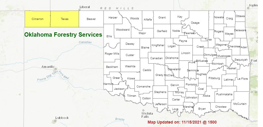
Fire Danger Expected to Increase this Week with Burn Bans in Cimarron & Texas Counties
Tue, 16 Nov 2021 08:23:17 CST
 Statewide Discussion: Fire danger is expected increase on Tuesday in advance of a cold front that will move into the Oklahoma Panhandle and western Oklahoma early Wednesday progressing across the state through the day and evening. This front will be primarily dry reserving some chance of rainfall in southeast Oklahoma later Wednesday although elevated fire danger will persist in western and portions of northern/central Oklahoma with continued dry condition and stout winds. Conditions moderate Thursday with much lighter winds overall and a return to seasonal temperatures although another uptick in fire danger is likely on Friday in advance of another frontal passage.
Tuesday: Fire danger will increase with well above normal temperatures, dry conditions and increasing wind speeds ahead of a cold front. Again, the highest fire danger indices will be focused in the Panhandle counties and wester one-third of Oklahoma with moderate conditions east. In the west, high temperatures will range from the mid-70°'s to low-80°'s under mostly-clear skies with afternoon relative humidity values ranging from 9% in the western Panhandle to 25% west of US 81. Fine-dead fuel moisture at 4-5% with 3% observations locally. Southerly winds will be strongest in western Oklahoma sustained 20-25 mph with some gusts in excess of 30 mph. Rangeland fuels in this area will have potential to exhibit rapid rates of spread during the peak burning conditions while winds in the Panhandle will be somewhat lighter limiting fire spread potential. Forecasted Burning Index points to very-high indices in parts of western Oklahoma where rates of fire spread in rangeland fuels during peak burning conditions may exhibit 200-255 ft./min with head fire flame lengths 12-13 ft. Initial attack will likely produce some challenges although extended attack efforts are unlikely.
Wednesday: Moderate overnight moisture recovery, dry frontal passage and gusty north winds will support enhanced fire danger generally north and west of I-44. Afternoon relative humidity values will not be nearly as low as Tuesday in this area ranging from 23-30% limited by cooler temperatures and increased sky cover will serve to cap fine-dead fuel moisture values from tapping critical values. Nonetheless, continued dry conditions and stout northerly winds will present a fire environment capable of supporting moderate to rapid rates of fire spread on established fires. Initial attack activity is expected to be successful. Rangeland fuels will exhibit head fire rates of spread 144-234 ft./min. with head fire flame lengths around 11-12 ft.
Near-Term: Fire danger is expected to moderate on Thursday, although increase again on Friday in advance of another cold front. Again, the focal area will be the Panhandle and western counties.
Burn Bans: Cimarron County Refer to https://ag.ok.gov/divisions/forestry-services/ for the most current burn ban information and links to specific burn ban proclamations.
Fire Management Survey: Monica Mattox (OK Mesonet) is conducting a research study on risk perceptions and decision-making, as well as related processes, among different organizational levels within the fire management field. If you are at least 18 years old and work or volunteer in fire management, firefighting, or any related trade please visit the link https://ousurvey.qualtrics.com/ to participate in the survey by December 3. There are no known risks or compensation involved in this research.
WebReadyTM Powered by WireReady® NSI
Top Agricultural News
More Headlines...

