

Agricultural News
Fire Danger Still high Across the State, but Rain & Snow Chances On the Way
Wed, 09 Mar 2022 09:09:10 CST
 A Red Flag Warning is in effect today for Cimarron and Texas Counties from Noon through 6:00 PM. In the warned area, 13% of normal rainfall has been received in the last 120 days and the area is currently +147 days separated from a wetting precipitation event. Winter precipitation chances increase in the area on Thursday and more widespread winter precipitation chances overspread Oklahoma Thursday night into Friday.
Today: Following a chilly start, temperatures will begin to warm into the 50º's across Oklahoma this afternoon. Temperatures today remain a bit below normal although low dew point temperature will open the door for afternoon relative humidity values dropping below 30% briefly this afternoon in most locations. Winds will be strongest in the Oklahoma Panhandle ahead of a cold front overnight. Elsewhere, dry conditions today will promote moderate fire danger conditions for a brief period this afternoon although new fie activity in the main body of the state is not expected to present undue suppression challenge outside of limited engine access in many areas resulting from rains on Sunday.
• Warned Area: Cold temperatures this morning will warm into the 55-59º range this afternoon in Cimarron and Texas Counties with relative humidity values falling into the 14-16% range. Fine-dead fuel moisture values will likely hover around 5% through most of the burning period given the presence of some sky cover although 4% observations are possible if skies clear during the peak of the afternoon burning period. Light winds this morning will increase into the afternoon with southwest winds sustained 20-25 mph gusting at times over 30 mph. Rangeland fuels in this area will likely exhibit head fire rates of spread 174-238 ft/min during peak burning conditions with flame lengths around 13 ft. Fire danger will moderate quickly after sunset with diving temperature and improving moisture.
Near-Term: Rain and snow chances Thursday across northern Oklahoma and then over much of Oklahoma Thursday night into Friday will prompt another downturn in fire danger. Amount and location of precipitation will be critical as a warming trend this weekend ushers in some stronger fire weather focused on western Oklahoma. The current near-term outlooks point to above normal temperatures and below normal precipitation following this round of wintry weather and climatological peak of fire occurrence in Oklahoma.
Burn Bans:
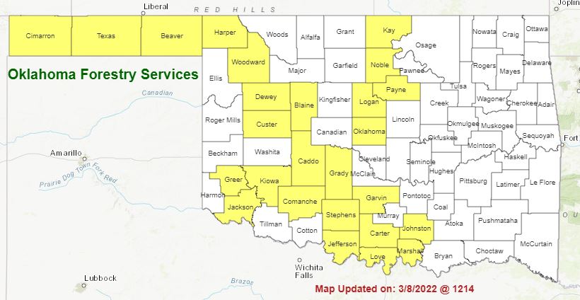
Refer to: https://ag.ok.gov/divisions/forestry-services/ for the most current burn ban information and links to specific burn ban proclamations.
WebReadyTM Powered by WireReady® NSI
Top Agricultural News
More Headlines...


