

Agricultural News
Fire danger will flex a bit During the next few days Interspersed with some Storm Chances
Wed, 20 Apr 2022 10:39:50 CDT
 Statewide Discussion:
A dryline will push into western Oklahoma this afternoon coupled with above-normal temperatures increasing fire danger west of I-35 while storm chances develop further east. Light rain is exiting northeastern Oklahoma this morning after delivering wetting amounts at a few sites in southwestern, south-central and southeastern Oklahoma. Those amounts in the southwest will not overcome the fire weather conditions this afternoon although it will serve to compress the period of concerning fuel moisture values in the area. Fire danger will flex a bit during the next few days interspersed with some storm chances during a more spring like weather pattern. Green-up and leaf-out continue to improve east, and while the west is ready wetting rains will be requited to mitigate the current condition of fuels.
Today:
Very good overnight moisture recovery across western Oklahoma will aid in compressing fire danger into the afternoon as a dryline flexes into Oklahoma. A noteworthy exception to that overnight moisture recovery is in the western Panhandle where it was poor with 16% observations at Boise City this morning. Temperatures will warm into the 80°'s in the Panhandle counties, 90°'s across western Oklahoma with relative humidity values dropping below 20% across most of the area. Winds appear to be strongest midday just ahead of a cold front that will enter the Panhandle this morning progressing into central Oklahoma later in the burning period. Winds are forecasted to diminish behind the front limiting alignment in the fire weather inputs. Overall, the area of fire danger concern will be dependent upon the eastern extent of the dryline penetration.
• Oklahoma Panhandle/Northwest Oklahoma:
Temperatures will warm into the 82°-89° range with afternoon relative humidity values this afternoon 8% in the western Panhandle to 22% yielding fine-dead fuel moisture values at 2-4%. This morning, southwest to west winds sustained 17-25 mph gusting around 30 mph will diminish somewhat into the afternoon hours after acold front passes through the area. As the frontal boundary moves across the area, winds will make a clockwise shift to northerly with winds this afternoon sustained 10-15 mph with some gusts above 20 mph. Fuels will support potential for erratic and problematic fire behavior noting that rates of spread are not expected to express the fire behavior observed one-week ago. In rangeland fuels this afternoon, head fire rates of spread 147-202 ft/min with flame lengths 11-16 ft.
• Western Oklahoma:
A few sites in southwest Oklahoma did receive wetting rainfall amounts yesterday, rather most areas where rain did fall received less than 0.10". Overnight moisture recovery was very good overall which will serve to delay overwhelming fine fuel dryness as a dryline coupled with very warm temperatures overspread the area. Temperatures 90°-96° and relative humidity values 7-21% yielding receptive 1-hour fuels at 2-3%. Southwest winds will be strongest midday sustained 20-25 gusting 28-35 mph then relaxing a bit as a cold front moves into the area this afternoon. Winds will shift to westerly this afternoon the northwest sustained 10-15 mph. Rates of spread in grass dominated fuels 114-180 ft/min with flame lengths 11-13 ft.
Near-Term:
Fire danger will remain a concern in western Oklahoma through the week noting that an unsettled weather pattern may produce some storms Thursday and Friday lessening concern heading into the weekend. A quick glance at the 7-day Quantitative Precipitation Forecast does drive a glimmer of hope for some rainfall in western Oklahoma noting that those rainfall chances do not top 40% given current forecast information leading to some skepticism. Soil temperatures are primed to support a flush of green-up given some moisture to work with.
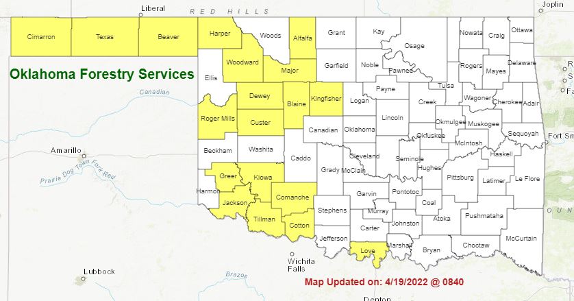
To see the latest Burn Ban Map click here:
OFS STATISTICS for April 19, 2021 OFS Preparedness Level: 1 - 2 - - 4 - 5
NE Area 1 Fire Burned 0.1 Acres (Cause: 1-Incendiary)
EC Area No New Activity
SE Area 1 Fire Burned 20 Acres (Cause: 1-Incendiary)
Large / Significant Fire Activity within the OFS Protection Area: No New Activity
Fire Activity with OFS Response outside of the Protection Area: No New Activity
OFS Prescribed Fire Activity: No New Activity
Fire Department Statistics: Light Initial Attack Activity
WebReadyTM Powered by WireReady® NSI
Top Agricultural News
More Headlines...


