

Agricultural News
South winds return on Tuesday spurring a Warming trend and Elevating fire Danger
Mon, 25 Apr 2022 12:19:02 CDT
 Moderated fire danger is expected across the western and Panhandle counties today while rainfall through the weekend in south-central and eastern Oklahoma is progressing green-up and diminishing fuel availability. South winds return on Tuesday spurring a warming trend and elevating fire weather over fuels that remain receptive in much of western Oklahoma. Fire danger indices will increase across western Oklahoma through the week into Friday focused in the Panhandle and northwestern counties when another impressive storm system is expected. Given current forecast information, a similar set up as late last week with a penetrating dryline will spike fire danger west and promote storm development east of the dryline ahead of a cold front.
Today:
Cooler temperatures and decent moisture recovery will delay development of fire danger concerns today with a short window this afternoon where conditions will support potential for enhanced initial attack potential generally west of US 183. In this area, temperatures will gradually warm into mid- to upper-60°'s with afternoon relative humidity values 18-27%. Fine-dead fuel moisture values will stall around 5% with a few locations registering 4% briefly during peak burning conditions. North-northeast winds sustained 9-14 mph with some higher gusts will support moderate rates of spread in rangeland fuels during peak burning conditions. Head fire rates of spread generally around 90 ft/min with flame lengths 9-12 ft should offer good opportunity for initial attack success.
Tuesday:
A Fire Weather Watch is in effect for Cimarron County for Tuesday. Winds will switch back to southerly increasing in the western Panhandle coupled with warmer temperatures and relative humidity values less than 20%. Across the western counties, warmer and drier conditions will elevate fire danger holding initial attack potential firmly in place. The highest fire danger indices will develop in the western Panhandle where temperatures in the mid-70°'s, mostly-clear skies and relative humidity values around 16% will spur receptive fuels. South winds sustained 20-26 mph with gusts around 35 will support rapid rates of fire spread and enhanced large fire potential. Head fire rates of spread in fuels typical of the area at 185-254 ft/min.
Near-Term:
As previously discussed, fire danger indices across western Oklahoma will gradually increase with focus on the Panhandle and northwestern counties approaching Friday when the next storm system is forecasted to arrive. There is a chance of storms Wednesday evening and overnight across the Panhandle and northwestern Oklahoma although amounts look negligible outside of a storm cell.
From State Climatologist, Gary McManus:
Watch out for Friday. It would appear that's our next chance for some high-end severe weather. A ways away as of now, of course, but always a good chance to prepare. It may seem like we've had a pretty slow severe weather season, and we probably have. The NWS says they've found at least two tornado paths from this weekend, which would raise our total to 8 for the year thus far. But let me say this...we were dangerously close to a major severe weather outbreak on Saturday. We had scads (not oodles, but also not modicums...just scads) of rotating supercells blasting up and down the I44 corridor and marching southeast. We could have had a much worse situations had a couple of severe weather ingredients been just a bit more potent.
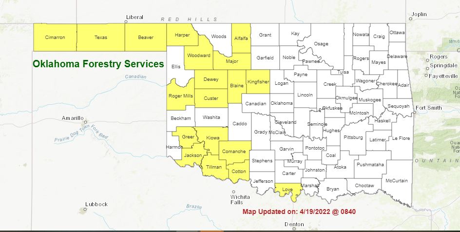
Burn Bans:
Refer to: https://ag.ok.gov/divisions/forestry-services/ for the most current burn ban information and links to specific burn ban proclamations.
WebReadyTM Powered by WireReady® NSI
Top Agricultural News
More Headlines...


