

Agricultural News
Red Flag Warning is in effect for the Oklahoma Panhandle and the Western Oklahoma Today
Mon, 09 May 2022 09:01:09 CDT
 Statewide Discussion:
A Red Flag Warning is in effect for the Oklahoma Panhandle and the western Oklahoma today beginning at 10:00 AM continuing through 10:00 PM in western counties and 1:00 AM in the Panhandle counties. A dryline will drive east today will bring desert air and potentially record breaking heat to western Oklahoma coupled with gusty southwest winds increasing fire danger indices. Central and eastern regions of the state will see higher humidity with wellabove normal temperatures spurring muggy conditions. Fire weather over transitional fuels will persist will linger into the overnight hours especially along the western tier and Panhandle counties.
Today:
A warm start and very poor overnight moisture recovery (or no recovery in the Panhandle) is harbinger to the strength of the fire weather behind the dryline that will push across the western third of the state. Unlike yesterday when a weak frontal boundary prevented conditions from reaching potential, today's fire weather will be strong and challenge the limited green up following recent rains. Significant fire potential is limited with the concern centered around those pockets where wetting rains have missed the mark Western Panhandle and southwest Oklahoma centered around Beckham County. Within the Warned area, critical fire weather will develop by midday and persist well into the evening. Given the transitional state of herbaceous fuels, initial attack efforts will be challenging, and large fire potential (+300 acres) exists.
• Warned Area (Oklahoma Panhandle/Western Tier of Counties):
Overnight moisture recovery was basically nonexistent with morning relative humidity observations at 15-29%. Temperatures will rapidly warm with afternoon highs 95°-103° under clear skies with relative humidity values 5-9% driving fine-dead fuel moisture values to 1% in this area. Transitional fuels vary across the area given the variation in rainfall amounts, and the heat sink associated with live fuel moisture improvement will vary in the level of fire behavior moderation. Southwest winds sustained 19-26 mph with some gusts tapping 35 mph will support potential for rapid rates of fire spread on going fires. On average, rangeland fuels should be expected to exhibit head fire rates of spread 180-236 ft/min and flame lengths around 15 ft. The dryline will be sloe to retreat encouraging an extended burning period well into the night.
• Warned Area (Western Oklahoma):
Respectable overnight moisture recovery will be driven out as the dry line pushes east nearing the US 81 corridor. During the peak of burning conditions today, temperatures will register 96°-102° with relative humidity values 9-22%. Southwest winds 20-26 mph with some gusts topping 35 mph will support moderate to rapid rates of fire spread dependent upon the level of live fuel moisture improvement. On fires that escape initial attack efforts and become established, expect head fire rates of spread 129-187 ft/min and flame lengths 11-14 ft. An extended burning period is expected and the dryline will retreat nearing the 100th Meridian around midnight.
Near Term:
Elevated fire weather over transitional fuels is expected on Tuesday focused in the northwestern and Panhandle counties. Limited rain chances and severe weather potential develop Tuesday afternoon/evening in southwest Oklahoma although outside of a convective storm, rainfall appears very limited. This will pose some potential for lightning ignitions. Low chances of precipitation remain in place each day this week with warm temperatures holding firmly inplace.
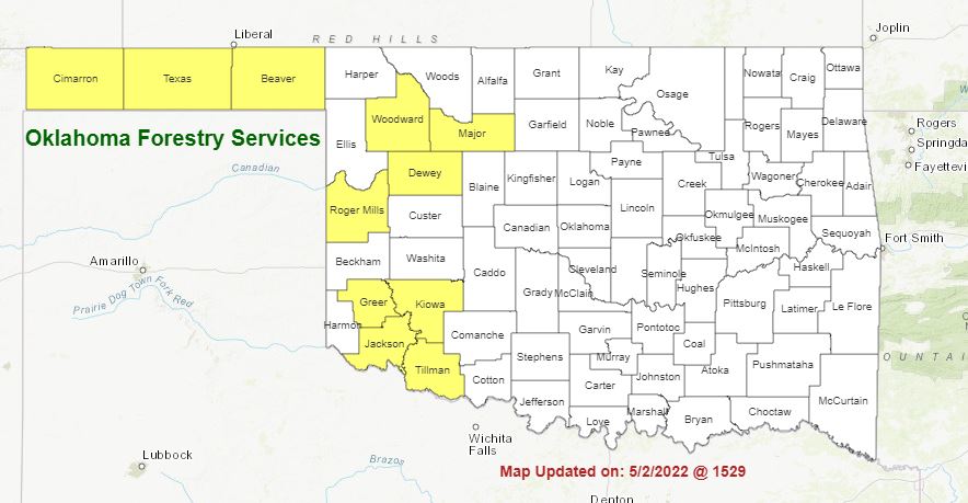
Burn Bans:
Refer to: https://ag.ok.gov/divisions/forestry-services/ for the most current burn ban information and links to specific burn ban proclamations.
WebReadyTM Powered by WireReady® NSI
Top Agricultural News
More Headlines...


