Agricultural News
New Online Lesser Prairie-Chicken Habitat Mapping Tool Available
Tue, 01 Nov 2011 13:27:17 CDT
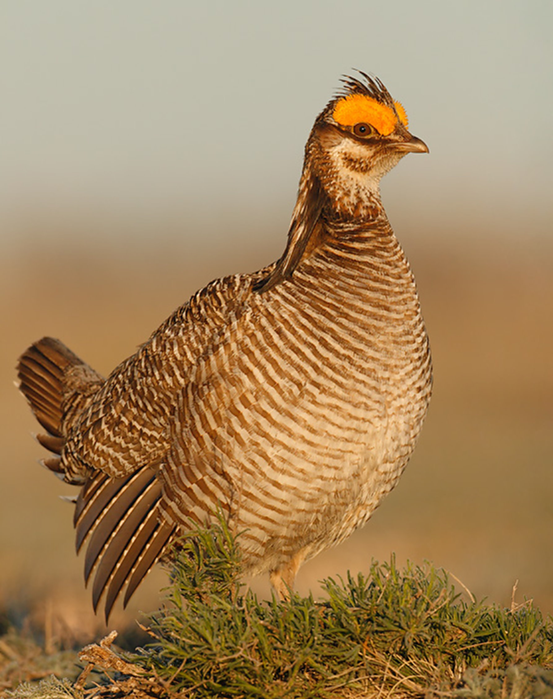 A new online regional mapping tool - the Five-State Southern Great Plains Crucial Habitat Assessment Tool (CHAT) - will help protect the Lesser Prairie-Chicken (LEPC), a candidate for federal protection, while allowing energy projects to still be developed in the Southern Great Plains. The collaborative effort to develop this spatial planning tool, funded through a Western Governors' Association (WGA) grant, was led by the Oklahoma Department of Wildlife Conservation and the Kansas Department of Wildlife, Parks and Tourism. The tool will inform the pre-planning of large-scale energy, transportation, and land-use projects in sensitive LEPC habitat and also help state and federal agencies and other organizations target LEPC research and conservation programs.
"The PLJV partnership was instrumental in developing this important tool for LEPC conservation," says Richard Hatcher, Director of Oklahoma Department of Wildlife Conservation. "Together, we were able to take the next step in providing consistent and seamless information to industry for their planning and siting efforts and to conservation agencies for allocating limited resources to research and habitat management."
For the past year, Playa Lakes Joint Venture (PLJV) has been facilitating the efforts of wildlife departments in Colorado, Kansas, New Mexico, Oklahoma and Texas, along with the US Geological Survey, in developing this Decision Support System for identifying and prioritizing LEPC habitat. The Southern Great Plains CHAT, one of three WGA state-based mapping tool projects, is a geospatial planning tool that can be used region-wide to guide industry, public agencies, NGOs and others in making siting decisions that avoid sensitive areas for Lesser Prairie-Chicken and target conservation programs to priority LEPC areas.
"This is the first time we've had a tool that will work across state lines," says Eric Johnson, Ecological Services Section Chief for the Kansas Department of Wildlife, Parks and Tourism. "The Southern Great Plains CHAT will give wind and transmission developers as well as our agency and those in nearby states a tool to help determine where their projects will affect LEPC habitat."
The tool is not regulatory and does not replace the need for developers to consult with state agencies; rather, it allows them to learn early in the planning process which habitat areas should be avoided to reduce the likelihood of later conflicts. Developers can use it to help them consider all LEPC priority areas within the region and choose sites with the least impact on key habitat areas.
The WGA Wildlife Council is continuing to construct region-wide layers of crucial wildlife habitat information that is compatible across state lines. Those layers, as well as the Crucial Habitat Assessment Tools (CHATs), will be the basis for a West-wide CHAT that the governors have asked the Wildlife Council to make available to the public in 2013. In the Southern Great Plains, the Lesser Prairie-Chicken tool will be expanded to include a suite of shared species of greatest conservation need.
WebReadyTM Powered by WireReady® NSI
Top Agricultural News
More Headlines...


