


Agricultural News
2012 Oklahoma Wheat Crop Developing Fast- Latest Pictures for 2012 WheatWatch
Sat, 17 Mar 2012 16:46:23 CDT
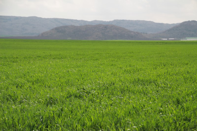 WheatWatch 2012 made a swing through southwestern Oklahoma on Friday March 16, 2012 and found pretty good moisture in most locations- some water in the ditches along the road and some good looking wheat. The field that we found that was the most developed was on State Highway 44 just a little north of Lake Altus Lugert. The picture above shows this field with the Quartz Mountains in the background- the wheat itself was lush, very green and thick and stood 18 inches tall.
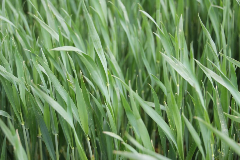
The first picture under our text is of that same field- and you can see the wheat plant is starting to develop- some jointing seen.
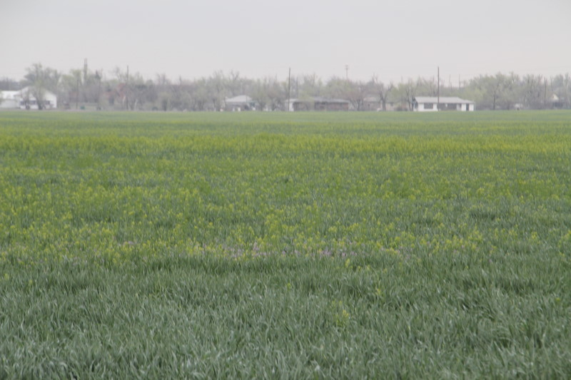
The next next two pictures are of a field we stopped at on the north edge of Rocky on Highway 183. This wheat field was more typical of what we saw on Friday- very green, thick, few if any weeds and standing about nine inches tall. There was moisture in that field as well- and I would think this field easily qualifies as being in "good" condition.
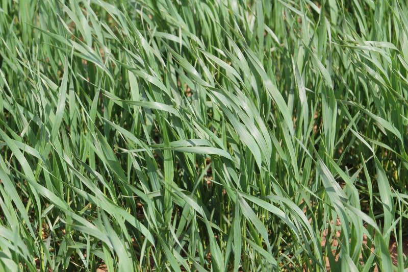
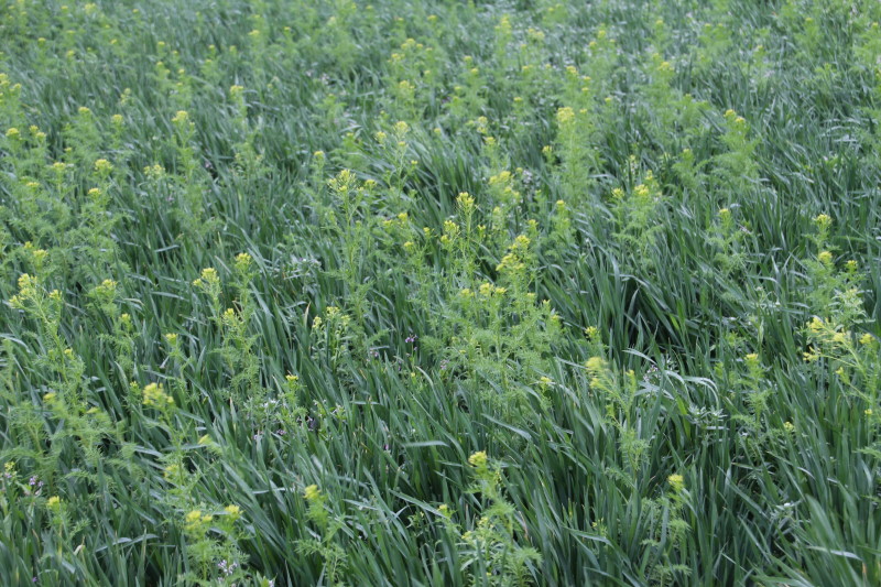
The last two pictures below show the other side of the coin when it comes to the 2012 wheat crop. This was perhaps one of the weediest fields we saw- but we did see several fields with at least some of this yellow flowering mustard poking it's head above the wheat plant. Mark Hodges with Plains Grains offers us an "ID" of this weed- "This is Flixweed (or Tansy Mustard as they are almost the same and for this purpose there is no difference), they are very similar except the seed pods are normally a little longer with Flixweed. We expected a lot of this as wheat was dusted in at many locations and little if any weed control was done last fall when the weed first emerged."
The wheat itself looked pretty good- standing nine to ten inches tall- but with a lot of competition for moisture and fertilization from the tansy mustard.
You can see more pictures of all three of these fields by clicking here for our Flickr set of photos of the 2012 wheat crop we have taken to date. Scroll down to the bottom of the photo set to see these most recent pictures.
WheatWatch 2012 is a service of the Oklahoma Wheat Commission. Click here to jump over to their website to learn more about their efforts to serve the Oklahoma wheat producer.
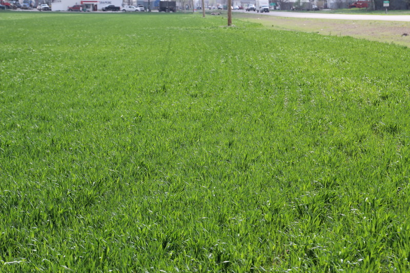
Top two pictures are on State Highway 44 north of Altus- the second two pics are near Rocky and the bottom two pics are near Hobart.
WebReadyTM Powered by WireReady® NSI
Top Agricultural News
More Headlines...


