Agricultural News
Groups Release 'Waters of the US' Mapping Tool
Mon, 08 Sep 2014 10:11:55 CDT
The National Pork Producers Council, along with other agricultural groups, today unveiled an interactive website that shows land likely to be regulated by the federal Clean Water Act (CWA) under a proposed rule from the U.S. Environmental Protection Agency and the U.S. Army Corps of Engineers.
Geosyntec Consultants, headquartered in Columbia, Md., used U.S. Geologic Survey data to develop maps of 17 states, depicting the areas that would fall under the jurisdiction of EPA and the Corps of Engineers if their "Waters of the United States" rule is finalized. Click here to view the maps.
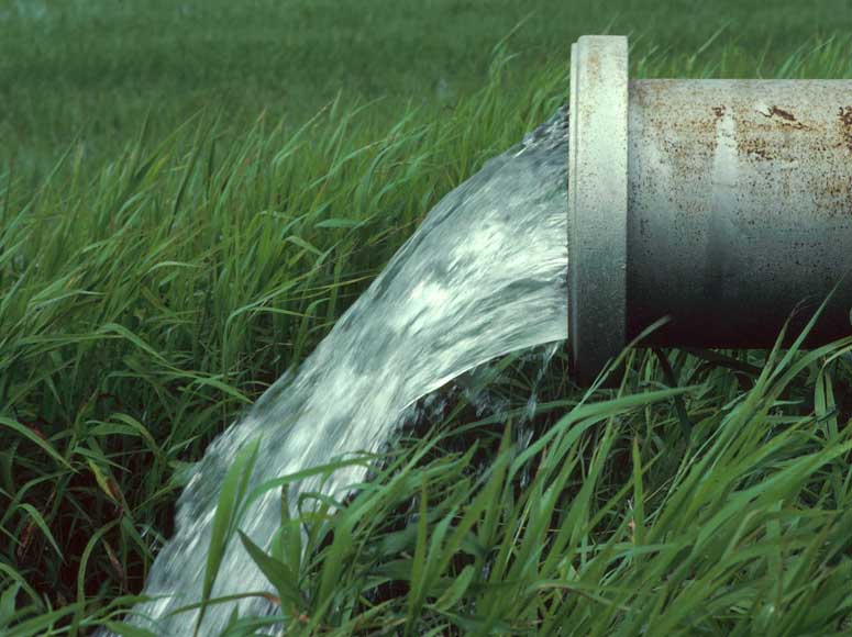
Currently, that jurisdiction based on several U.S. Supreme Court decisions includes "navigable" waters and waters with a significant hydrologic connection to navigable waters. The proposed rule would redefine "Waters of the United States" to include, among other water bodies, intermittent and ephemeral streams such as the kind farmers use for drainage and irrigation. It also would encompass lands adjacent to such waters or that fall within an expansive definition of flood plain.
Coverage areas would more than double in most of the 17 states, a separate analysis of the maps indicate. Almost the entire state of Missouri and, potentially, all the activities in it for example, would be subject to EPA and Corps of Engineers authority.
That power could include a requirement that farmers obtain CWA discharge permits for normal farming practices such as applying fertilizer, filling ditches and planting crops, NPPC and the agricultural organizations have pointed out. Among other concerns with the proposed rule, the groups said it was issued before EPA completed a study on the hydrologic connections between intermittent waters and wetlands and larger bodies of water.
NPPC will be submitting comments on the proposed rule by the Oct. 21 deadline.
WebReadyTM Powered by WireReady® NSI
Top Agricultural News
More Headlines...


